Brooks Range to Kaktovik
The plan is straightforward on paper.
Fly from Fairbanks into Grasser's Strip (69.1° N,-144.61° W) at the headwaters of the Hulahula River, travel up onto the Okpilak glacier, then inflate the packrafts and ride the Hulahula north through its canyon, across the coastal plain, and out to the Beaufort Sea. From there, we'll cross the sea ice across the Arey Lagoon, down the coast west to Kaktovik (70.1° N,-143.6° W) on Barter Island, and catch the seat flight home.
With the solstice just passed, we'll be traveling under 24 hours of daylight - the sun barely touching the mountains in the night, before rising again above us. I plan to navigate with map and compass, using dead reckoning unless things become unsafe.
Here's our rough plan, with 10m sat images from monday.
Maps
Caltopo - https://caltopo.com/m/Q7A1TCV
We'll be carrying a Garmin inReach. If you want to follow along in real time, the tracking link will be live during the trip - https://share.garmin.com/KXR2Y
USGS Topo Maps
We're using 1:63,360-scale USGS quads — the standard for Alaska backcountry. The route crosses three map series.
Mount Michelson (headwaters, Brooks Range crossing)
| Quad | Download |
|---|---|
| A-1 | Mount_Michelson_A-1.pdf |
| A-2 | Mount_Michelson_A-2.pdf |
| B-1 | Mount_Michelson_B-1.pdf |
| C-1 | Mount_Michelson_C-1.pdf |
| D-1 | Mount_Michelson_D-1.pdf |
Flaxman Island & Barter Island (coast, Kaktovik)
| Quad | Download |
|---|---|
| Flaxman Island A-1 | Flaxman_Island_A-1.pdf |
| Barter Island A-5 | Barter_Island_A-5.pdf |
Packing List
Shelter & Sleep
- 4 person tent
- 15°F down sleeping bag
- Big Agnes Pad
Navigation
- Garmin inReach
- iPhone
- Compass
- Printed paper quads for critical sections
Packraft
- Alpacka Raft Gnarwal packraft + paddle
- Kokatat drysuit
- PFD + Knife
- Dry bags (40L + 20L per person)
Clothing
- Merino base layers (top + bottom)
- Hardshell jacket + pants
- Lightweight down puffy
- Midlayer pants
- Wool socks × 4
- Neoprene booties (for river days)
- Waterproof gloves + liner gloves
- Sun hat + wool hat
Food — 10 days
- ~800g/day per person
- Freeze-dried dinners × 10
- Bars, nut butter, hard cheese, salami for trail
- Stove (JetBoil) + fuel × 3 canisters
Safety & Medical
- Bear spray, Bear Bangers
- Electric fence kit
- First aid kit
- Blister kit
- Ibuprofen, Benadryl, antibiotics
- Water filter
Misc
- Sunscreen SPF 50
- Bug head net + Ultrathon
- Repair tape (Tenacious Tape, duct tape, Aquaseal)
- Packraft repair kit
- Lighter
- Toilet Paper
- Satellite weather subscription
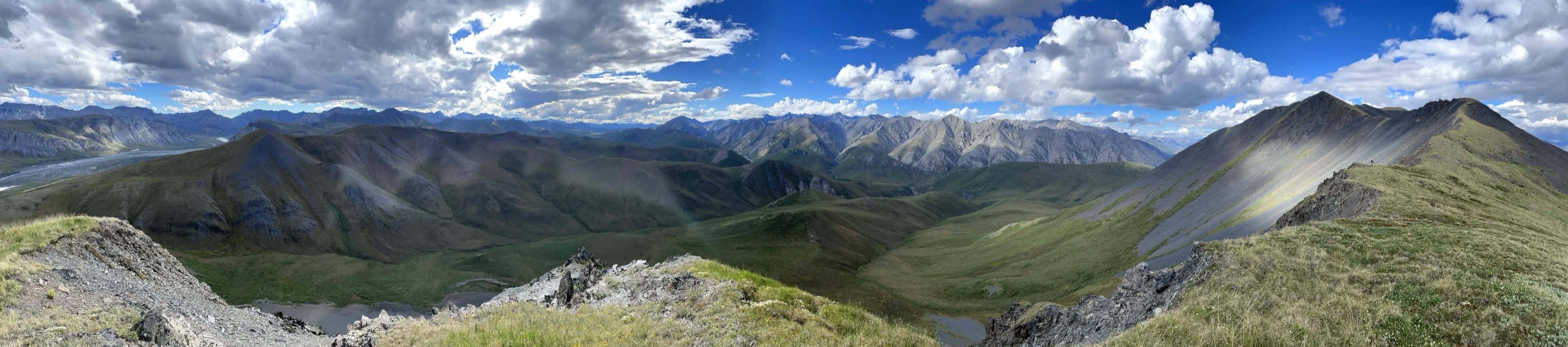
Photos
Photos from the trip will appear here.